What we did to spend 10 hours on the Sella Ronda mountain bike circle that average Joe should finish in 6h, to miss the last three lifts, got lost, lost, and lost again and had a blast.
What’s a Sella Ronda?
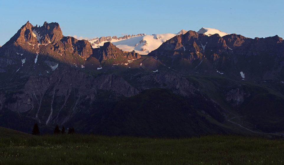
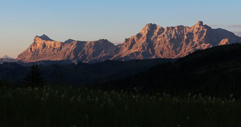
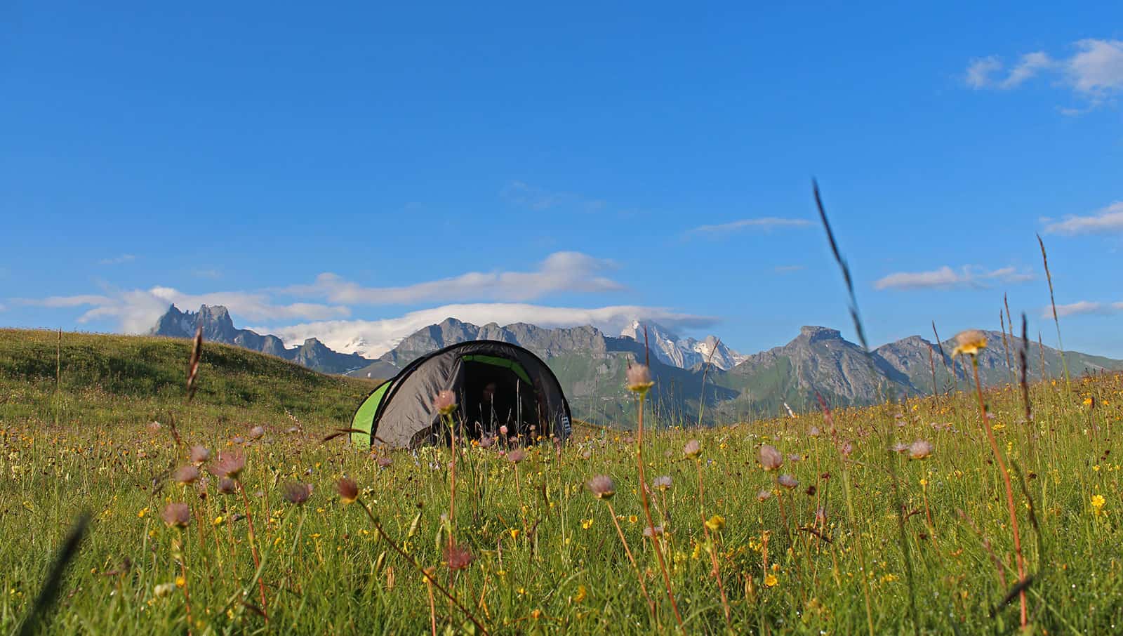
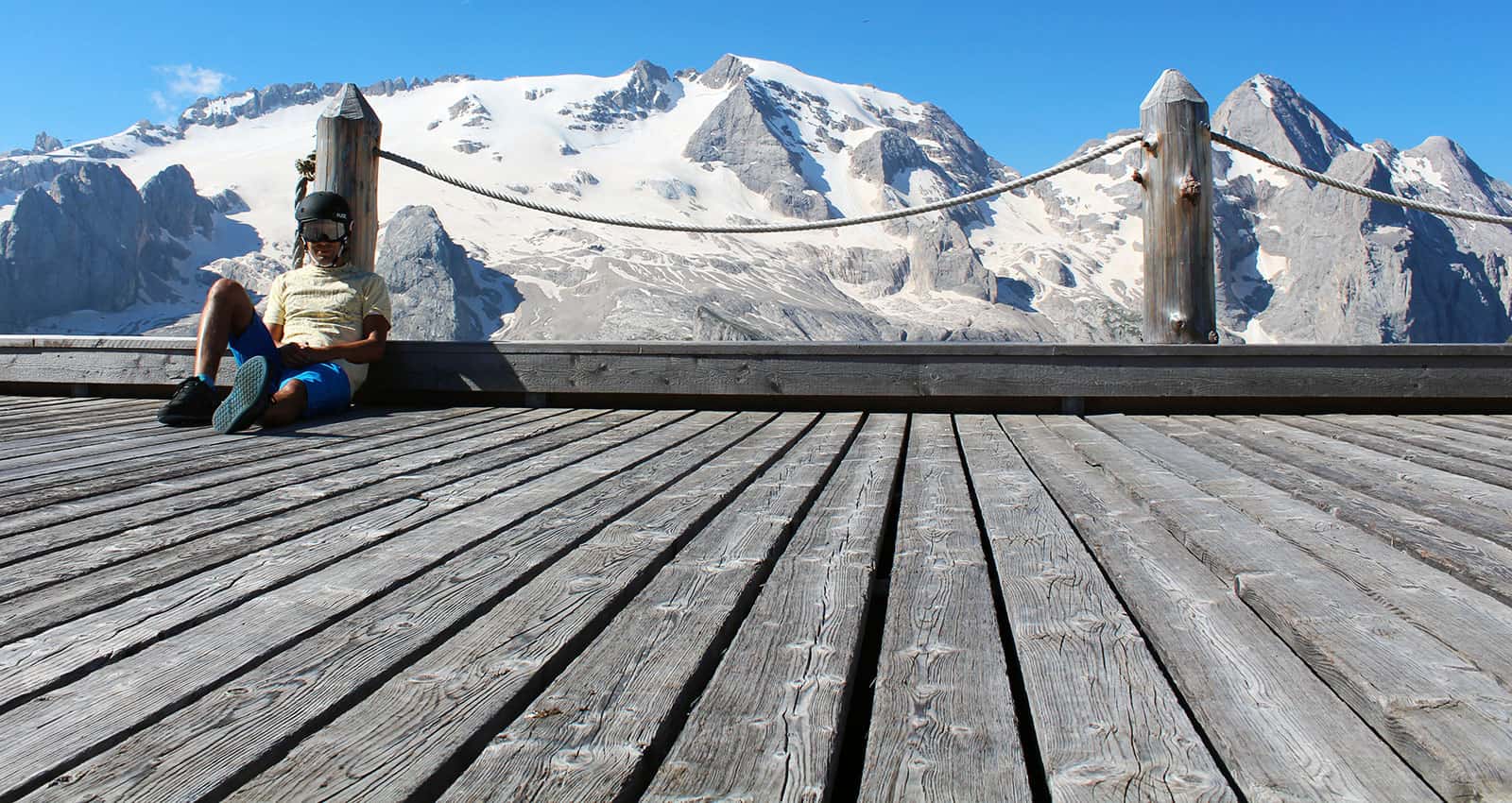
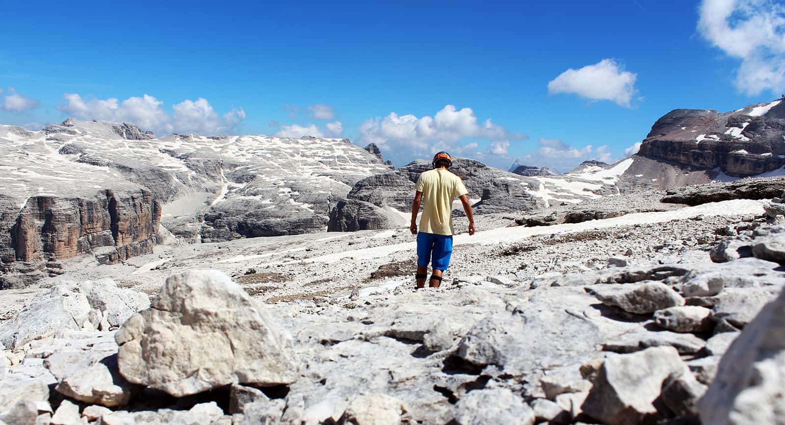
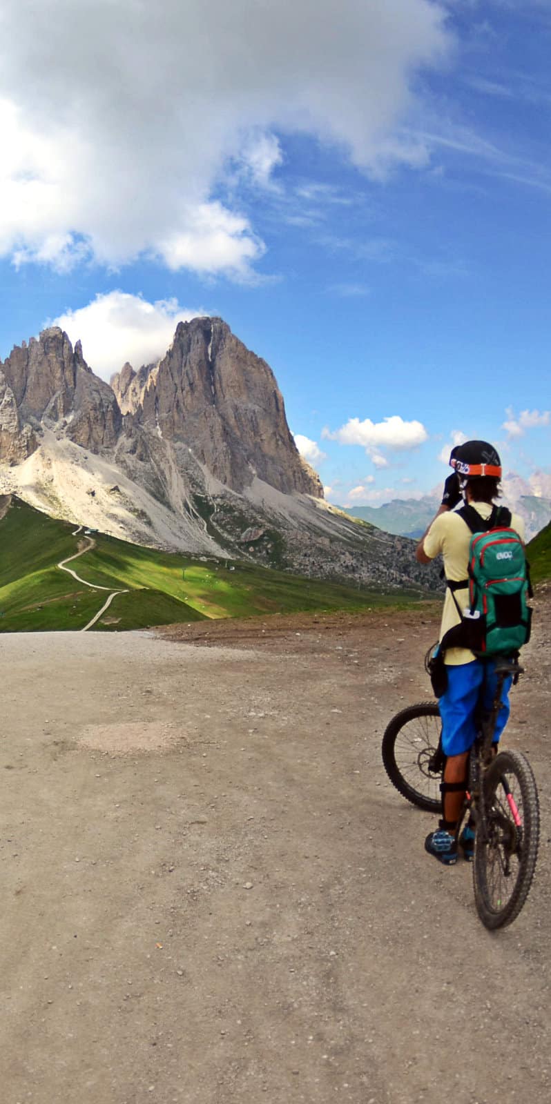
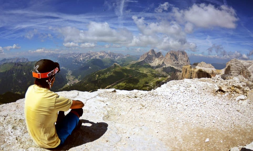
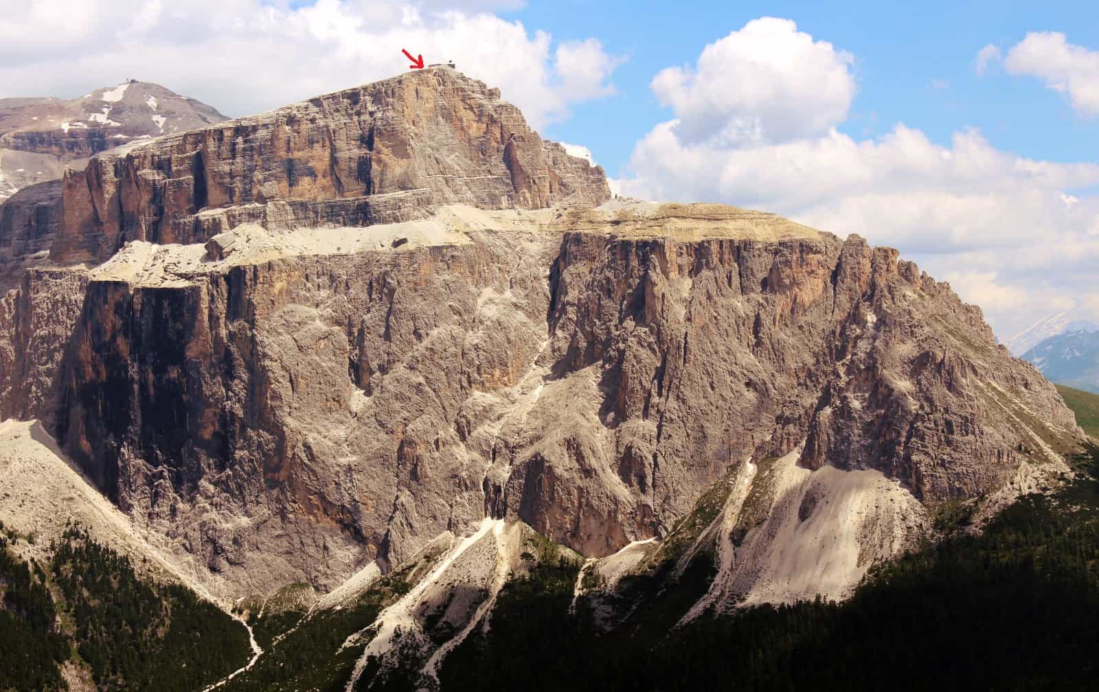
The Sella group is a bunch of mountains in Dolomites, Alps, Italy that look like giant monstrous castle with vertical walls rising endlessly from the alpine meadows below. The highest peak of this humongous pile of stone is Piz Boe at 3,151 m (10,338 ft) above sea level. The slopes below the massif are littered with ski lifts and in the winter you can ski around it without breaking a sweat. I know, I did it. And in the summer you can sit on your mountain bike, use a few lifts and do the same while breaking many many sweats… I know, I did it.
Should You Do The Sella Ronda Mountain Bike Circle in a Clockwise or Anti Clockwise Direction?
Ronda has something to do with being round or a circle which means:
- a) you will finish where you started (if you are lucky) and
- b) you can go around it in a clockwise or anti-clockwise direction.
Because of the lift system, trail, and road configuration it does matter which way you go. Whichever way you go there will be some pedaling uphill. The clockwise direction is easier because you will only need about 500m (1600ft) of your own leg shuttle service and the anti-clockwise direction is harder because this increases to around 1.500m (5.000ft). So if you are more into riding than pedaling go clockwise and if you are more into challenging yourself go anti-clockwise.
Either way there is around 60km (37miles) in front of you, and each time you get lost these figures increase. I know, they did. So be ready :).
Roadbike is like running… :)
You can do the Sellaronda in your car, there is a paved road going over four mountain passes that goes around the massif. And you can do it on your road bike using this same road. Much respect to all the cyclists that climb all the passes only using their leg power but I sure as hell don’t understand where is the fun in that… We want trails, we want to do the Sella Ronda on mountain bike!
Tickets & Guides
They are a little bit mean when it comes to doing the Sella Ronda on your mtb. Here are the facts: to go around the Sella group you will need to use 8 different lifts. Each one can cost around 5-16€ to use, so it ads up. There is a ticket that gives you 3 days of unlimited lift use in next 4 days and one that gives you 5 days in next 7. But if you only want to stay one day and do the Sellaronda you are fucked. There is no one day pass. The only way to buy a one day pass is to hire a guide, they are the only ones allowed to buy them. That does not mean that you are not allowed to do the circle without a guide, you just can’t get the ticket. There is now a daily ticket that costs 45€.
Now I don’t mind guides. I’m 100% sure he would show us the best trails and we wouldn’t get lost and stuff…but I like doing things on my own. I like to do the fun trail that I just did one more time, I like to stop and lie on the grass, take photos, leave the bike in the bar and take a cable car to the mountain top…etc. I don’t like crowds and traveling in packs. Large organized groups make me nervous :).
But with a little help from friendly Italian guy we sorted everything out.. Grazie mille!
Trail Map, GPS (.gpx) Tracks and stuff like that
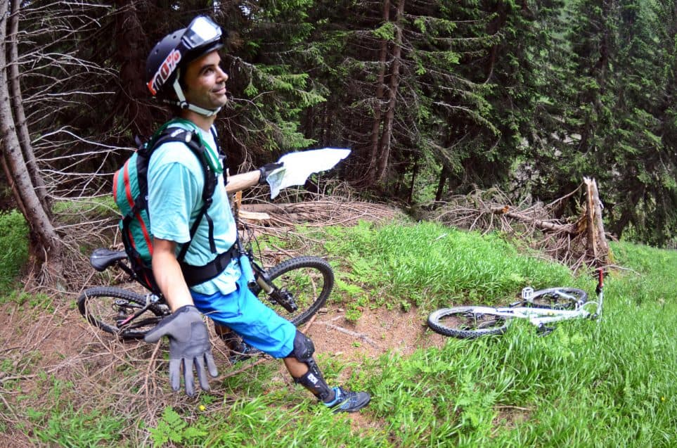
Since my buddy couldn’t load the Italy map on his GPS electronic thingy we had trouble not only navigating the Sella Ronda trails using only one mildly readable .pdf map on my piece of crap Chinese phone but even finding the Sella massif itself and then getting back home:). So it might not sound like a very good idea to take direction advice from me :) but for the limited map resources that we had we did great.
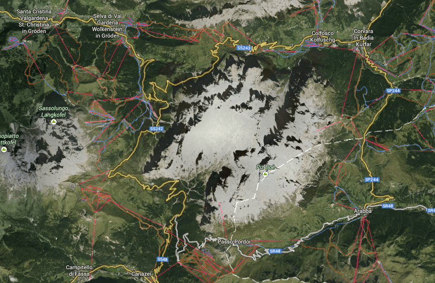
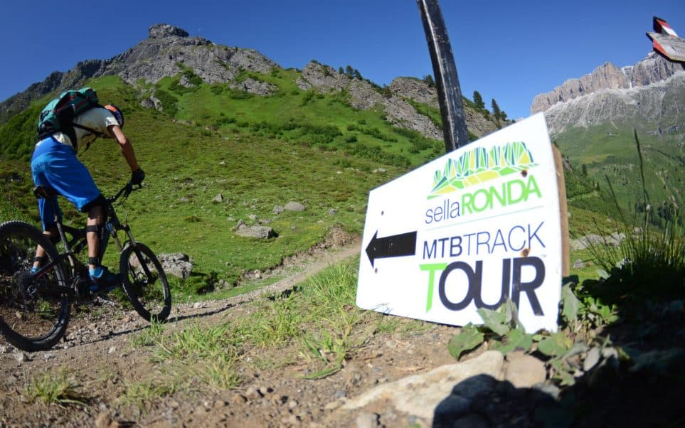
You can start your trip anywhere on the circle. This usually means one of the towns that lie around the Sella group – in clockwise order including the mountain passes (passo means mountain pass): Arabba, Passo Pordoi, Canazei, Campitello di Fassa, Passo Sella, from here the paved road goes over Passo Gardena (Groedner Joch) directly to Colfosco (Kolfuschg) and Corvara in Badia (Kurfar), but the mtb sellaronda trail goes towards Santa Cristina Valgardena (Santa Christina in Groeden) and Selva di val Gardena (Wolkenstein in Groeden) and then towards Colfosco and Corvara. From Corvara you have the last pass – Passo Campolongo and then you get back to Arabba.
Where to start and how long does it take?
They say it takes around 6 hours to go around. It took us 10 hours :). With no guide to nag about how we need to hurry and how it’s time to keep moving we took it easy. Repeating the cool trail, taking many many photos, ditching the bikes and taking the cable car so Sass Pordoi, stopping for latte macchiato, taking even more photos, missing the lift in Campitello di Fassa that has a lunch break sometimes after noon, staring at the stupid .pdf map and figuring out where to go, asking for directions, talking to other bikers… so after 5 and a half hours we only did 1/3 of the trail. Realizing that was quite a shocker haha.
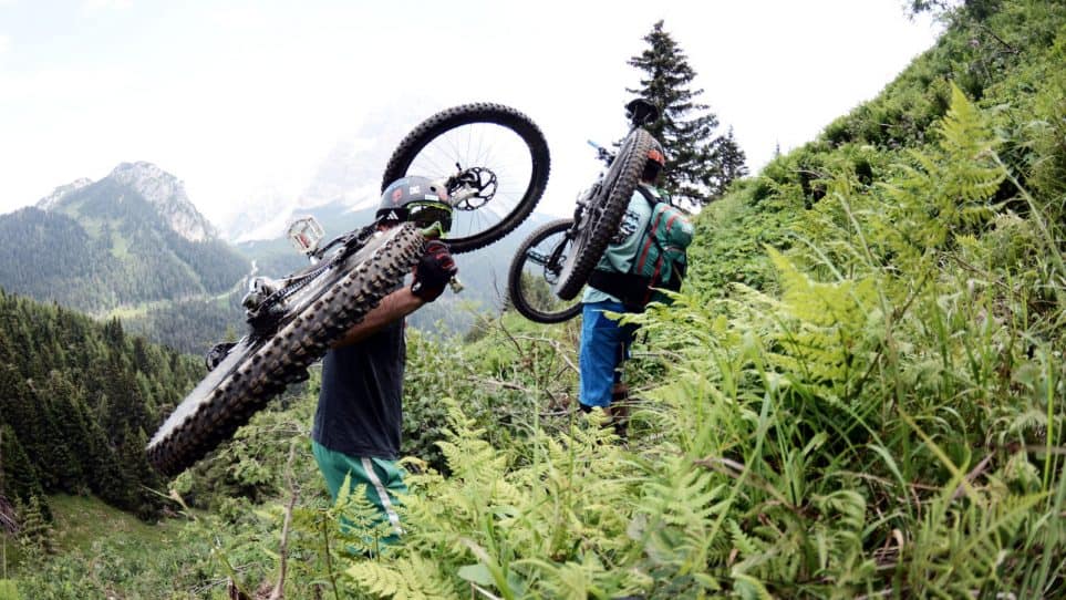
So the remaining part was a non stop uphill downhill marathon, no stopping. My friend got lost along the way so he missed the last three lifts and got stuck in Corvara. Which wasn’t that bad because he found free food and drink while I was pedaling towards Passo Campolongo #”!”$%”!@….and towards our car so I could go and pick him up.
OK, that about sums up the “how long does it take” part.
If you are doing the clockwise circle Arabba is a good starting point because the last part of the trail from Corvara to Passo Campolongo is quite long XC like trail that goes up and down and it takes some time to finish (you can say that again). This is why it’s wise to leave it for the end so you can get back to Arabba even when the lifts are already closed (they work from 8:30 to 17:30).
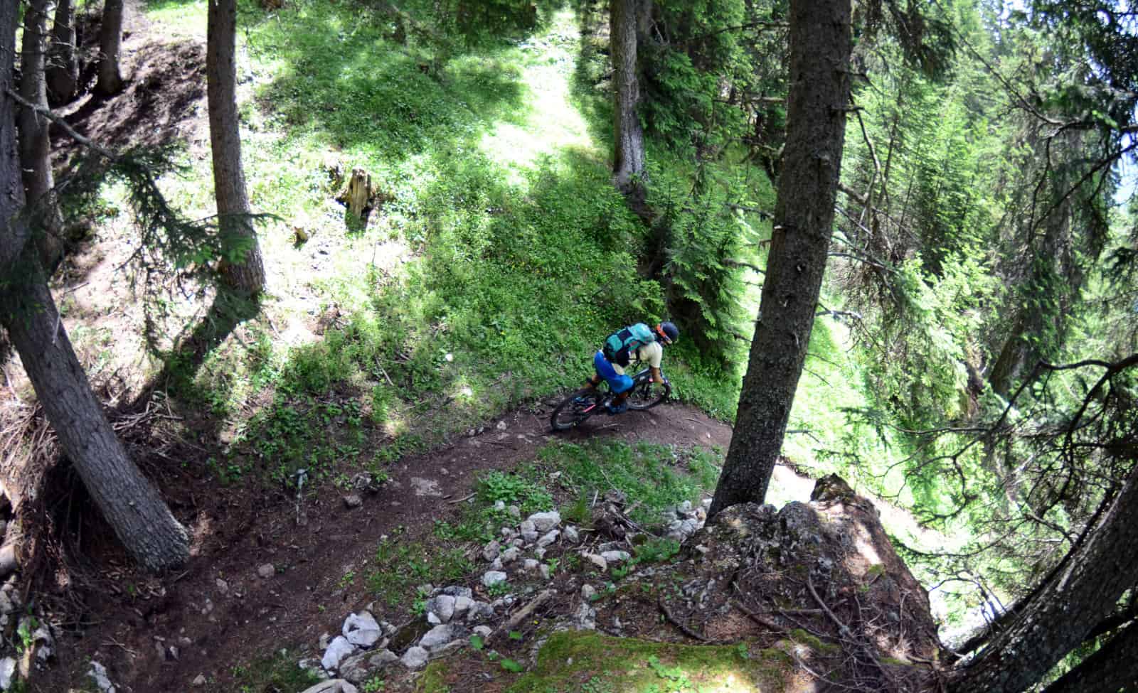
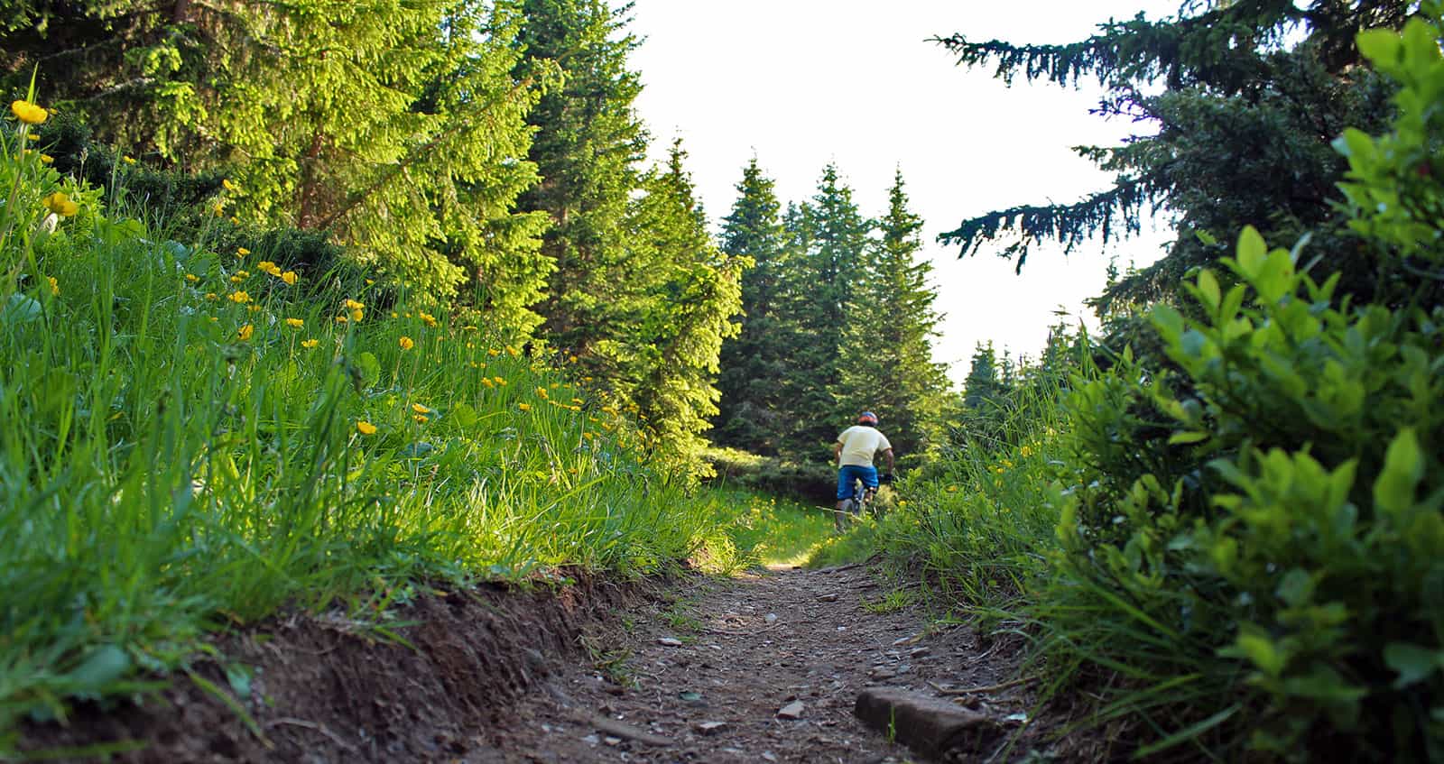
The Trails
If you are an downhill, freeride, enduro…biker – don’t expect too much. Just looking at the trail specifications can tell you a lot:
Tarmac 3,55 km 6,2 %
Tarmac cycle path 4,87 km 8,5 %
Gravel 22,54 km 39,2 %
Hiking trail 9,85 km 17,1 %
Single track 6,86 km 11,9 %
Carrying / pushing 0,06 km 0,1 %
Cable car / transfer 9,73 km 16,9 %
Lots of tarmac and gravel! There are a few fun trails hidden in this data but do the trip for the amazing nature and mountains, not the trails themselves.
The fun trails:
– trail under the lift that goes up the Passo Pordoi, you will see it from the lift, it’s not a part of the clockwise trail but it doesn’t matter…it’s short and fun
– the descent from Passo Pordoi to Canazei, it’s a bike park!
– the 2nd part of the trail from Passo Sella to Comici is really flowy, but sooo crowded with hikers it’s not much fun
– trail from Passo Gardena to Corvara is also partly a bike park and its really sick.
There is also a new (2017) Flow Trail from Dantercepies above Gardena Pass that you must check out:
WARNING: Trying to reinvent the Sellaronda and replace tarmac and gravel with hiking trails (as we did) will result in getting lost, carrying and pushing your bike and doing more vertical that originally intended. You should definitely do it:)!
What Kind Of Bike Is Best?
If you are doing the clockwise direction any “not downhill” bike will easily manage the uphill. For the descents – even though there is lots of tarmac and gravel these are the Alps! Rocks and stones, roots and bike park objects will be swallowed easier if your bike has full suspension. You have to be quite the master to do it on the hardtail or at least the harder parts are not much fun on it.
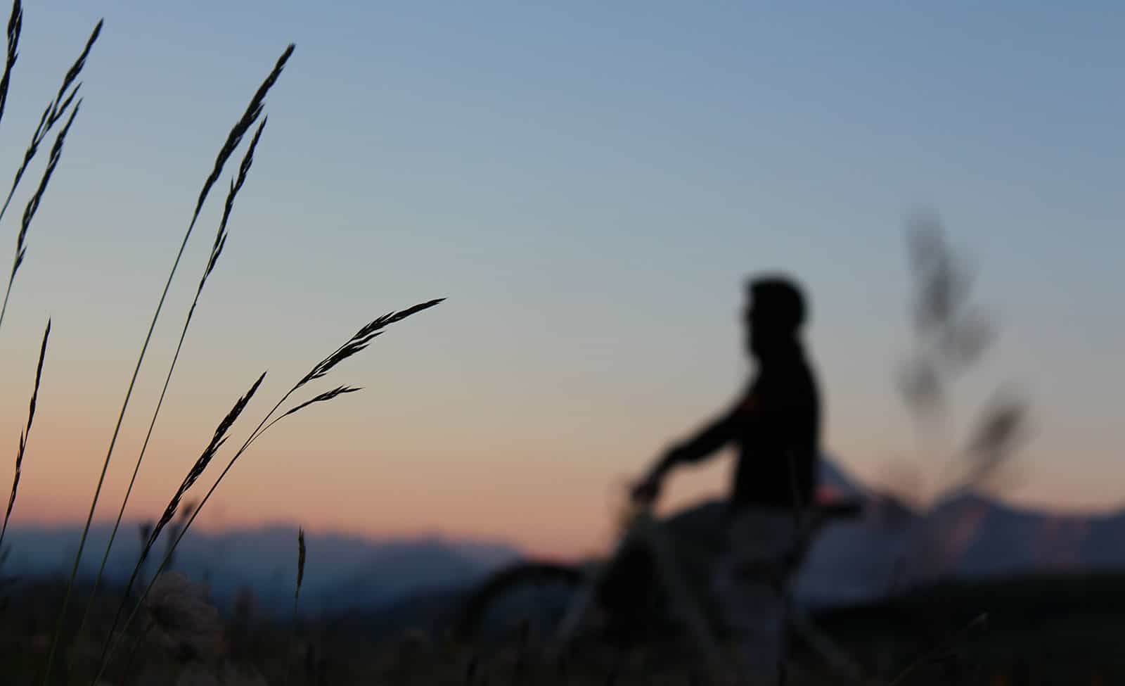
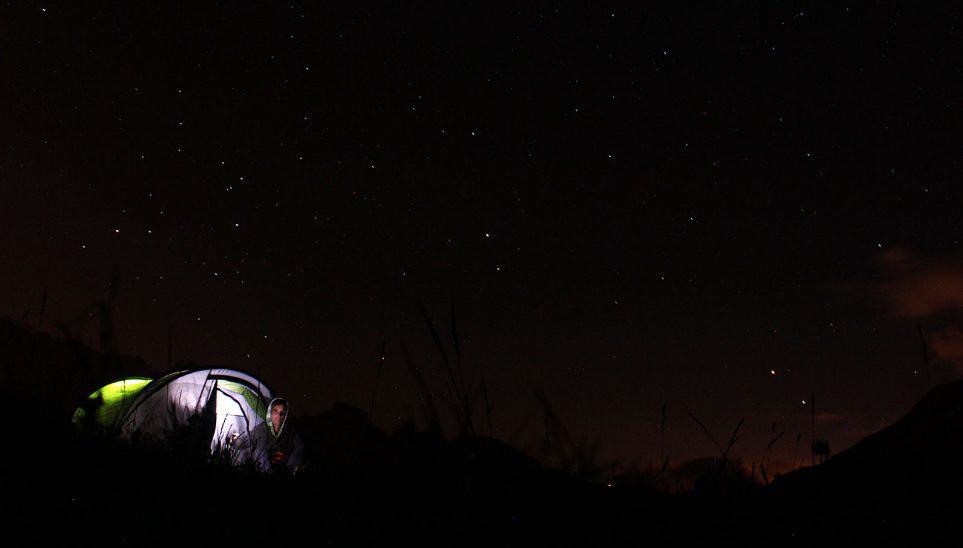
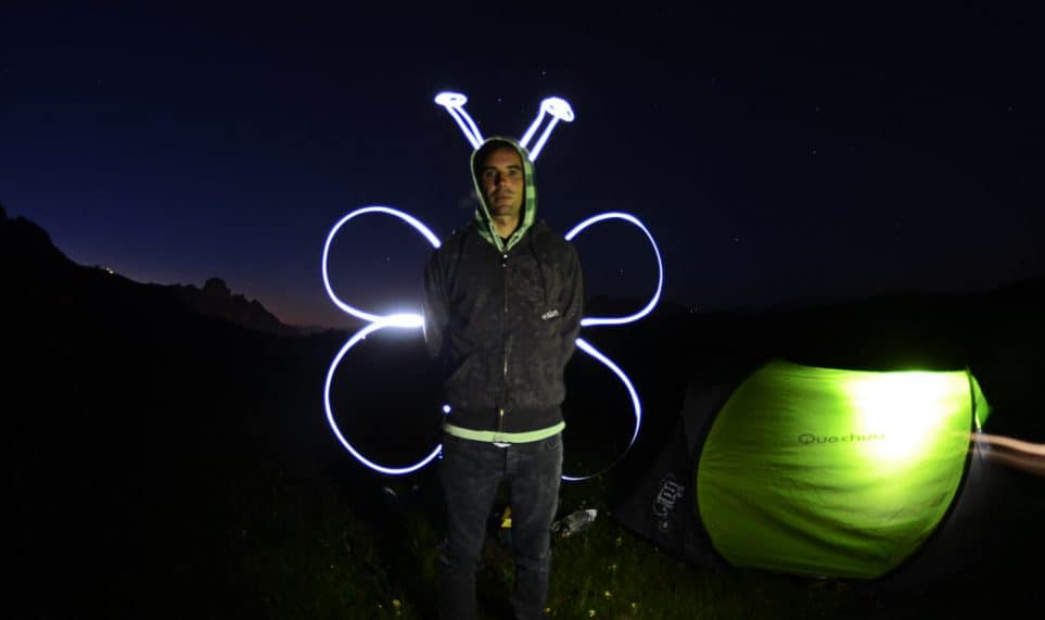
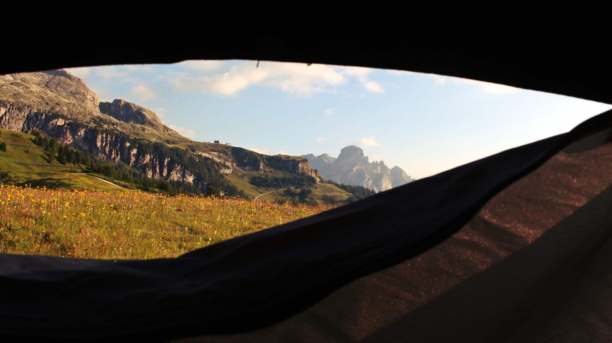
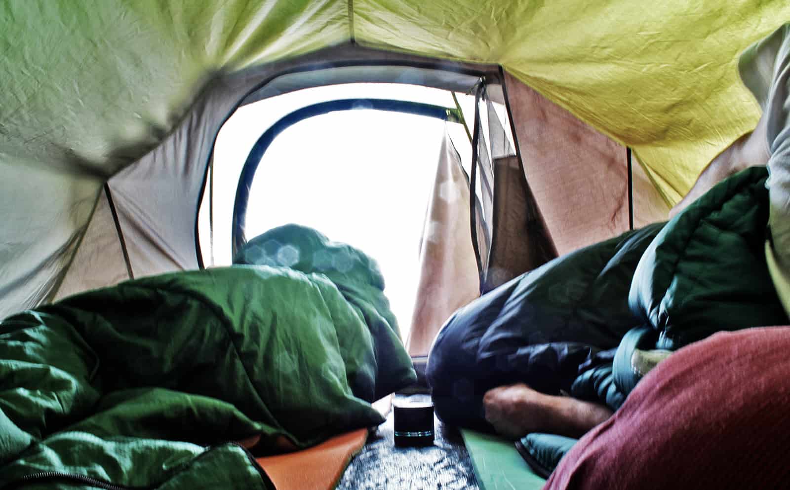
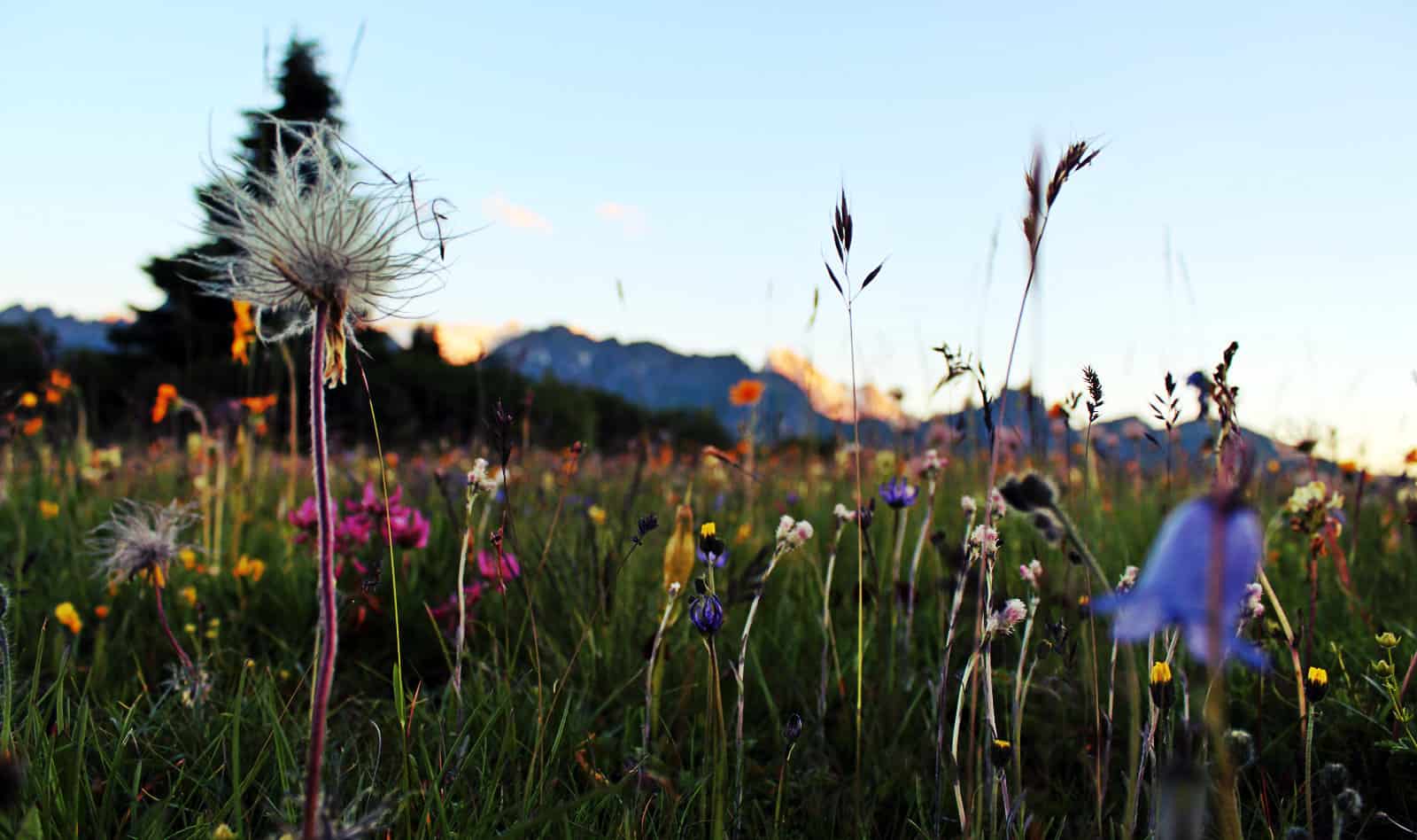
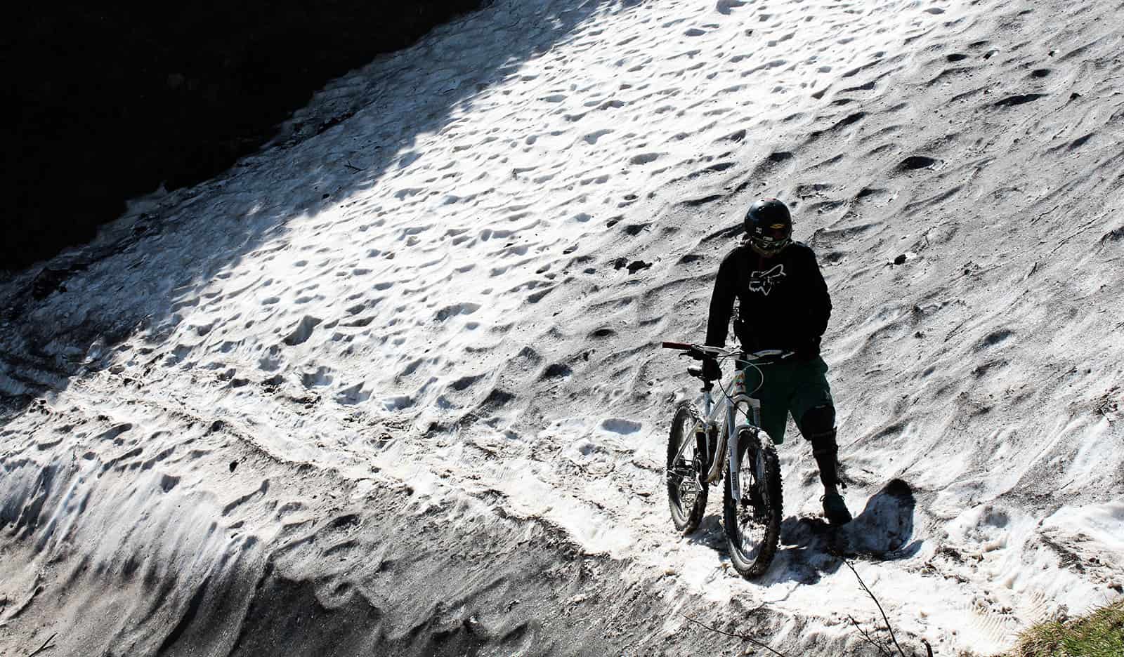
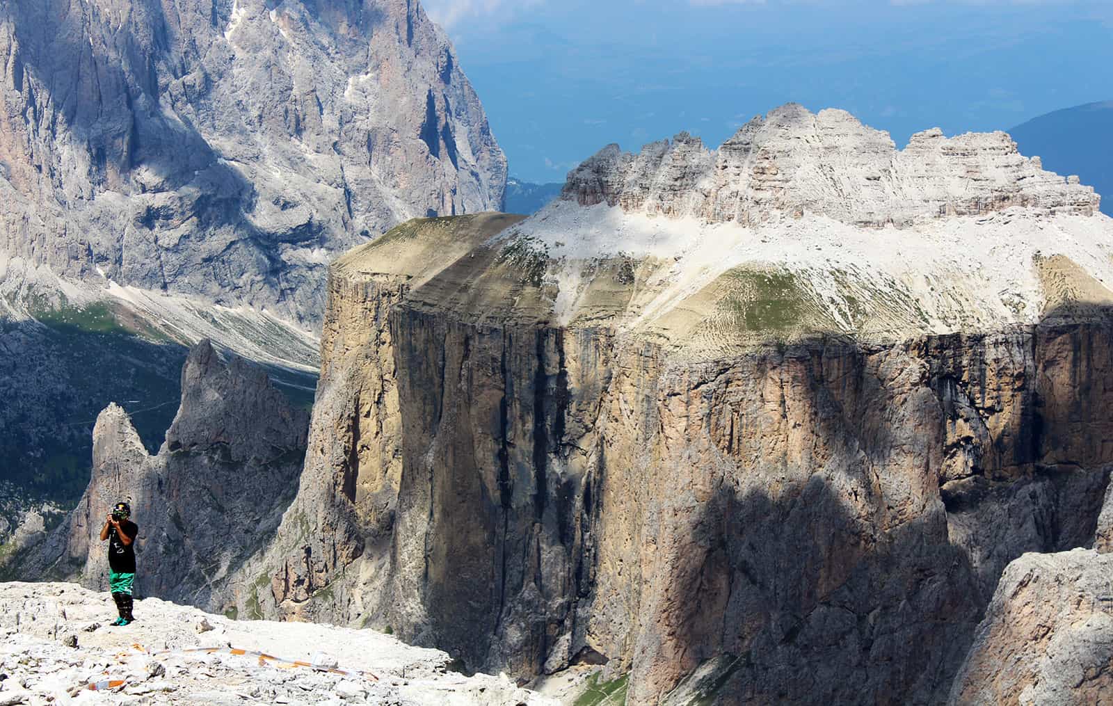
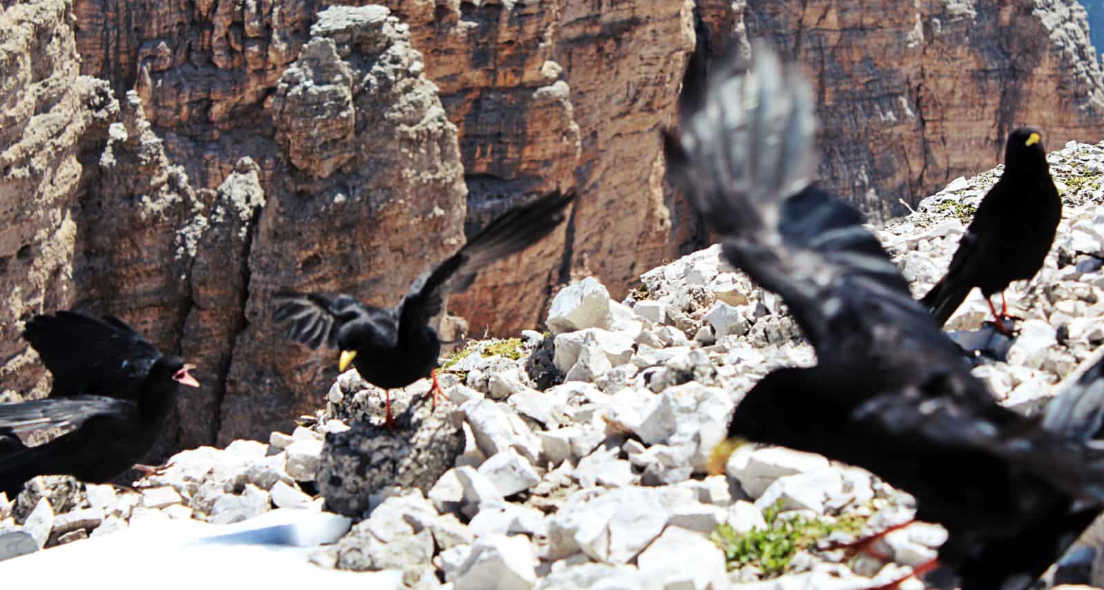
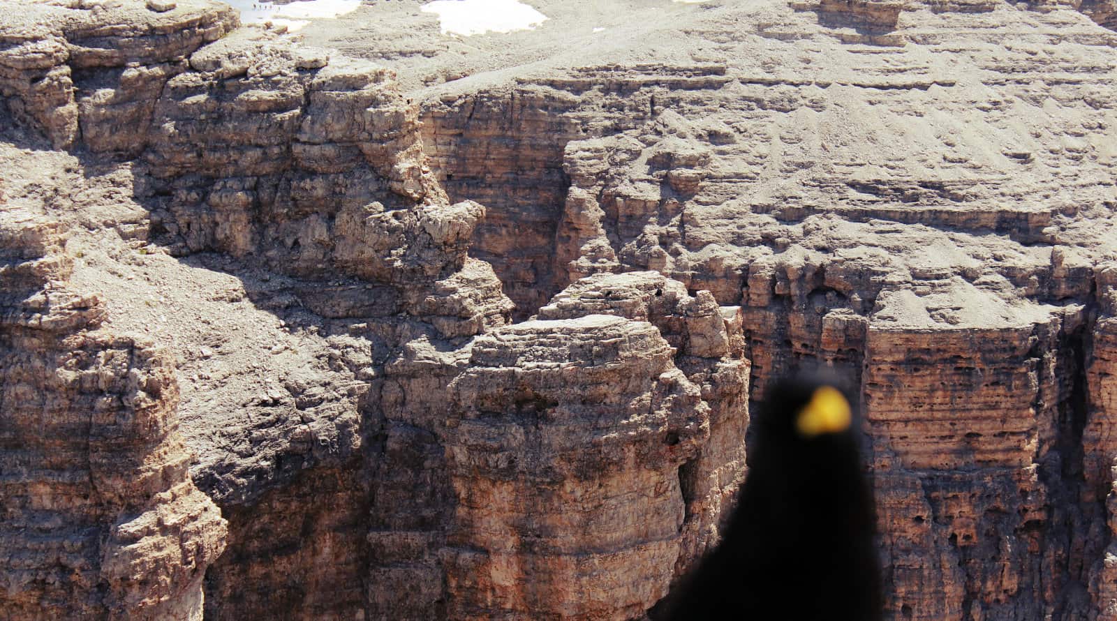
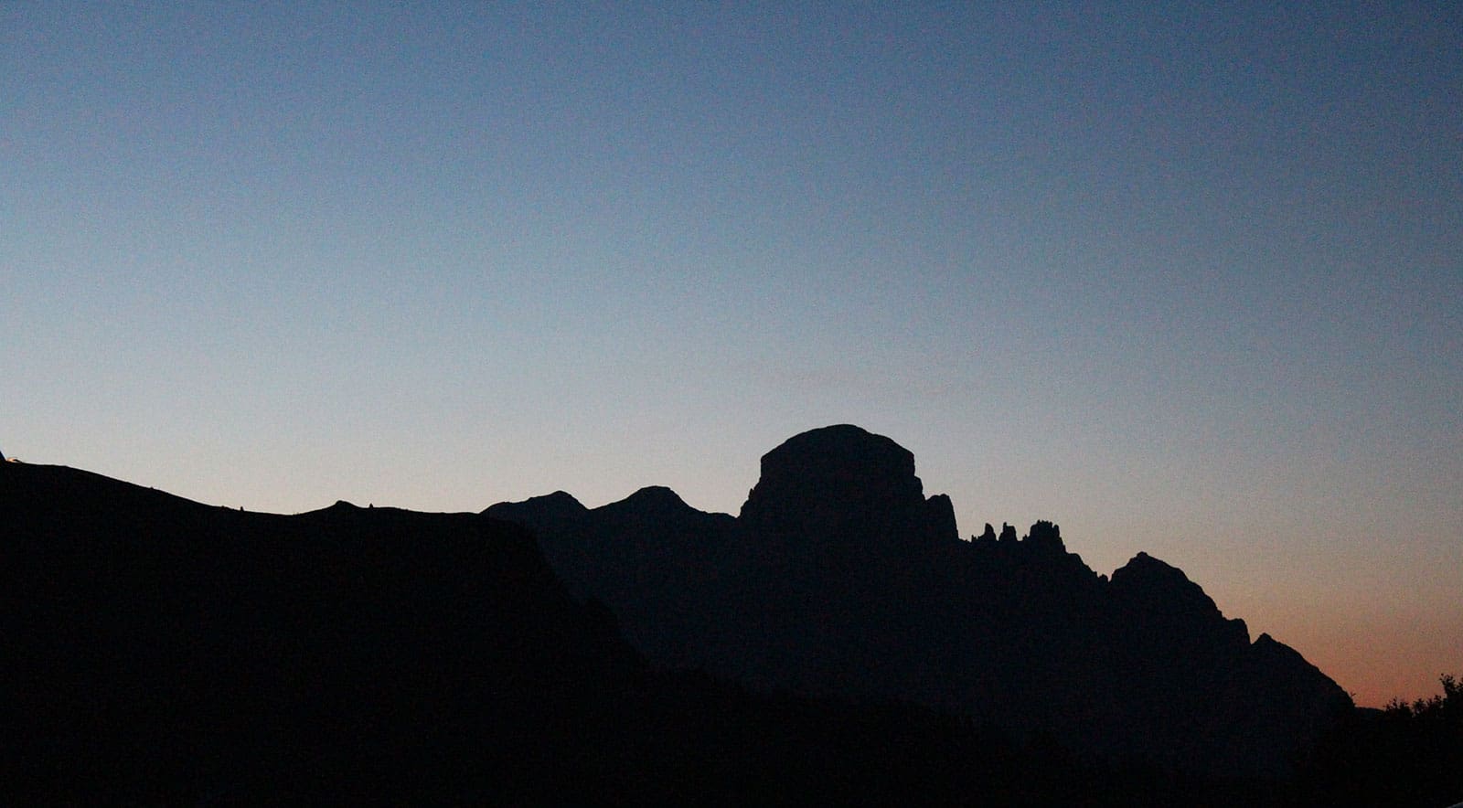
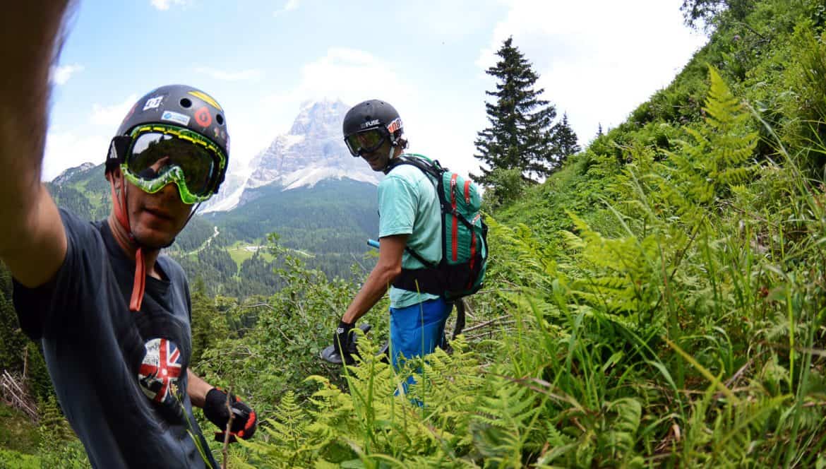
Sella Ronda MTB Photos